
- Home
- Government
- Departments
- Information Technology
- Maps and Geographic Information Systems (GIS)
Maps and Geographic Information Systems (GIS)
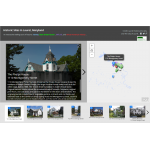 Historic District Walking Tour
Discover historic locations around Laurel. Currently being rebuilt. Pictures may be broken!
View the Historic District Walking Tour website.
City Services Finder
Find your city services, and trash schedule, by your address.
View the City Services Finder website.
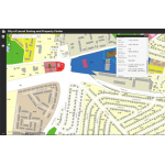 Property & Zoning Finder
Look up property and zoning information.
View the Property and Zoning Finder website.
FEMA Nation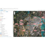 al Flood Hazard Map
FEMA flood and zoning data.
View the FEMA National Flood Hazard Map website.